The confluence between Big Creek and the Chilcotin River is one of the most interesting places geomorphically along the length of the Chilko-Chilcotin rivers. First, it is the second narrowest point along the river system at 23 meters, only passed by narrow parts of Lava Canyon (~100km upstream). Second, Big Creek is extremely small compared to the size of its canyon, so there must be something other than standard fluvial processes at work. Fortunately, these two first-order observations are directly related.
WHAT IS SHAPING THE LANDSCAPE AT THIS CONFLUENCE?
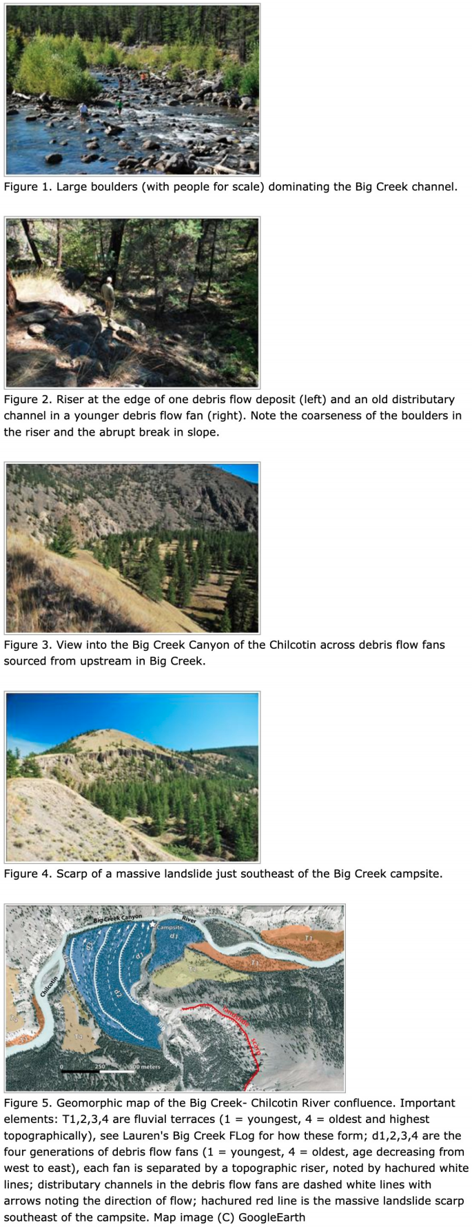
First, we'll take a close look at Big Creek. The channel is dominated by large, coarse boulders (up to ~2m diameter), which are far too large to be moved by fluvial processes. One thing is capable of moving these clasts- episodic debris flows or debris avalanches. These semi-fluid, extremely high energy mass movements can (and do) move extremely large clasts and anything else in their way.
There is actually quite a long history of debris flows at Big Creek. Almost the entire low-relief area that the campsite is located on is an amalgamation of multiple debris flows. Walking across the surface, the boulders are arranged into levees of coarse material and old distributary channels of finer material, each of these levees and channels are oriented roughly parallel with the modern channel of Big Creek. Viewed from above, there are at least four separate fans produced by debris flow eventseach represented by a semi-planar bench with evidence for old distributary channels on its surface (see Figures 2 and 5). Given the evidence for a number of debris flows, the massive landslide scarps in the Big Creek valley (Figures 4 and 5), and the sizes of clasts in the channel, we can conclude that the Big Creek valley is primarily shaped and carved by episodic debris flows rather than fluvial incision.
SO WHY THE EXTREMELY NARROW STRETCH OF THE CHILCOTIN RIVER?
Each time a debris flow comes roaring out of the Big Creek valley, it spills its load of extremely coarse material into the Chilcotin River. At the confluence, the north bank of the Chilcotin is an outcrop of extremely erosion-resistant bedrock. When a debris flow exits Big Creek it immediately abuts against this bedrock outcrop, essentially creating a dam along the Chilcotin. This damming creates lower-gradient reaches above and below the debris dam (note the islands indicative of lower-gradient on Figure 5 upstream and downstream of "Big Creek Canyon"). Since the debris dam is composed of material too coarse to be moved by the Chilcotin, the river is "pinned" against the northern wall and forced into a narrow, high-gradient, high-velocity reach.
While you're on this high-gradient, high-velocity reach of the Chilcotin in Big Creek Canyon, just make sure that you're paying attention to the river-right eddy for the campsite too!